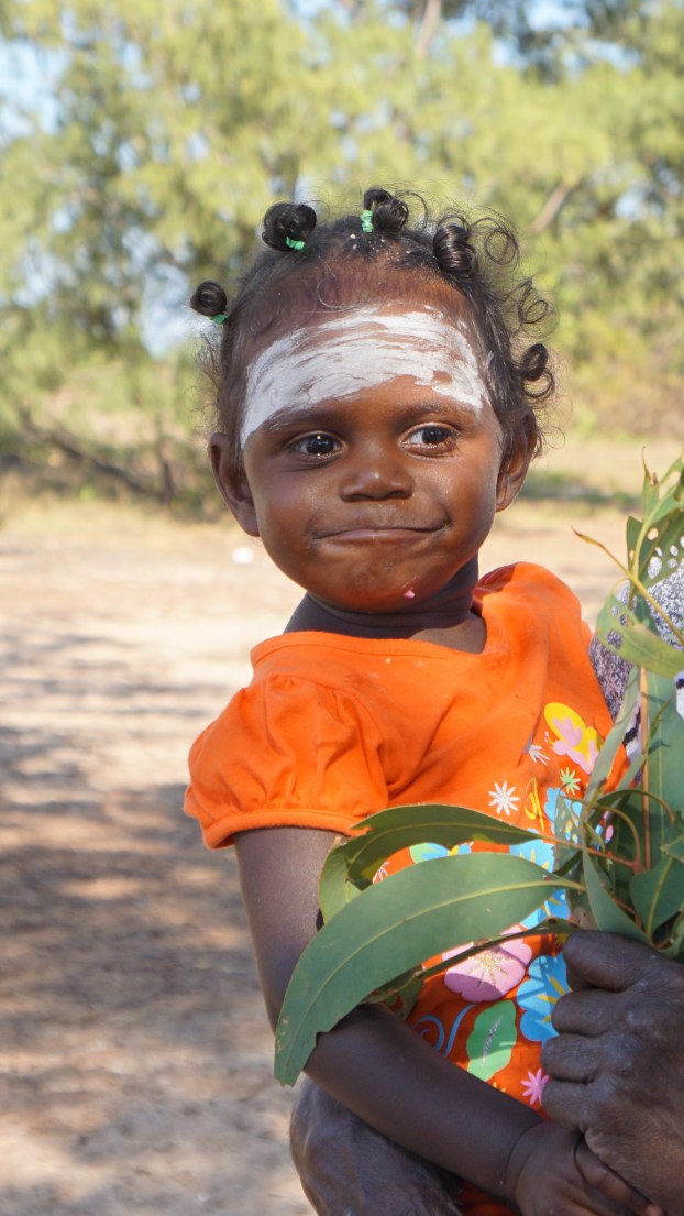
To reach Seven Spirit Bay we travelled north up the Cobourg Peninsula about 350 km east of Darwin. The Peninsula covers a land area of about 2,100 km². It is virtually uninhabited country with a population ranging from about 20 to 30 in five clans living in outstations; the same language, Iwaidja, is spoken by all.
It is estimated that 250 Aboriginal people were living here prior to the arrival of Europeans, In the 1940s and 50s, the whole population was moved to nearby Croker Island. By 1974 the peoples were allowed to return and in 1981 the National Park was declared, leased from the traditional owners.
Garig Gunak Barlu National Park is a protected area on the Cobourg and some adjoining waters.
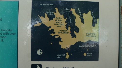
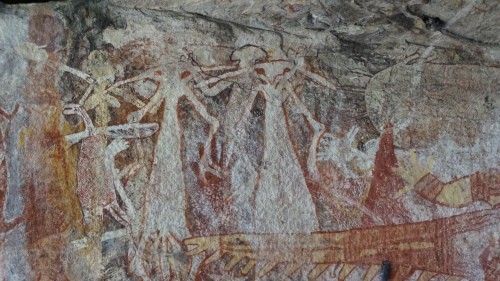
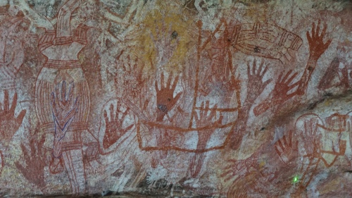
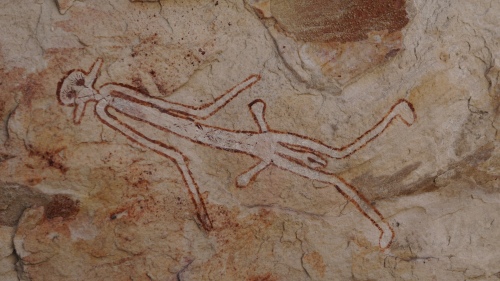
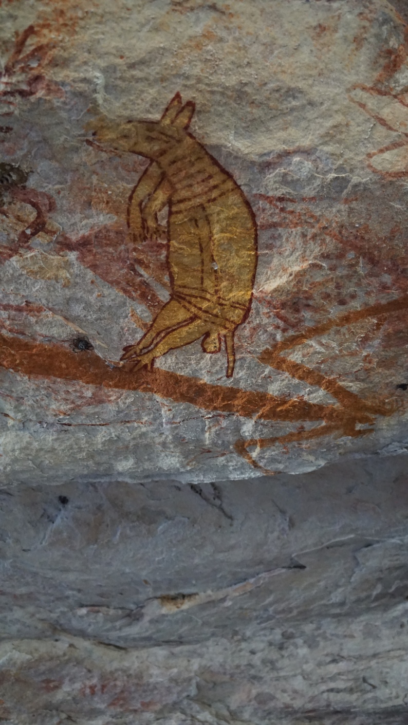
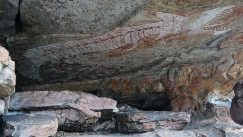
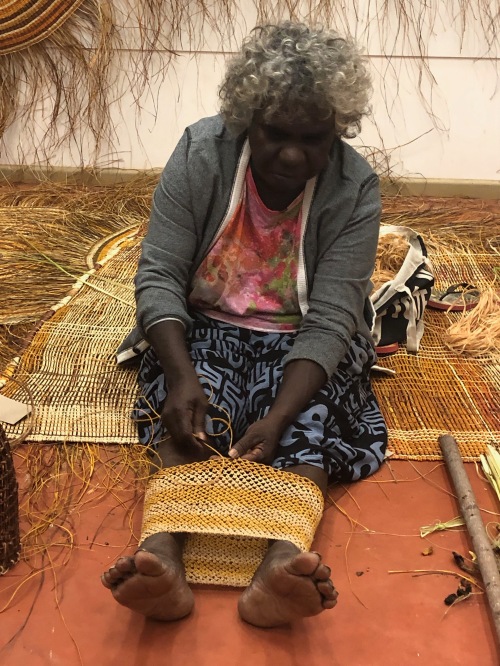
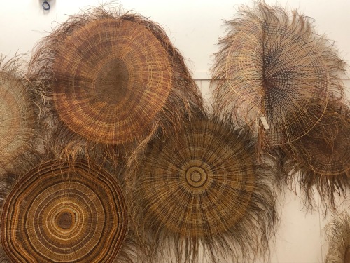
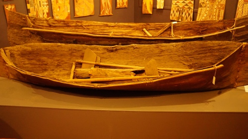
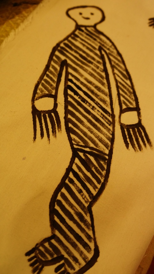
Arriving at Port Essington, we stopped at the Black Point Culture Centre located at the Black Point Ranger Station which seems a million miles from anywhere. Exhibits showcase the rich history of Aboriginal people, Macassan traders and European pioneers. Displays include traditional Aboriginal bush tucker, history and artefacts, evidence of Macassan trading and a history of the failed Victoria Settlement. A display on some recent history shows how an Indonesian fisherman was blown across from the Indonesian islands in his canoe, which is now in the museum.
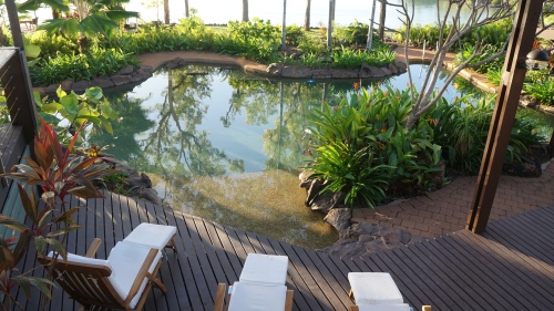
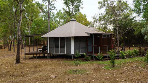
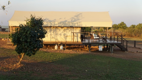
Out timing at Black Point was short as it was critical we catch the tide. Seven Spirit Bay wilderness lodge had sent it posh new boat to take us across the Port to the glamourous resort which can be reached only by boat or by air via the resort’s private airstrip. Port Essington is so big that apparently the British boasted it could hold all the boats in the world. After more than a week travelling through such remote country, the luxury of the resort was welcome.
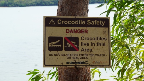
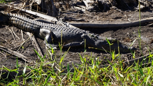
But least you think it too friendly, there were warnings:
The Aboriginal calendar is not divided into the Wet and the Dry, as Europeans divide the weather in the topics. The indigenous people have seven seasons and each of the seasons has seven spirits. Presumably the genesis of the name.
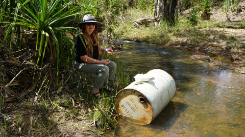
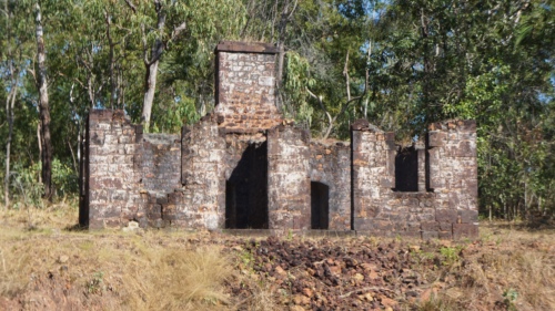
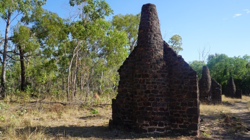
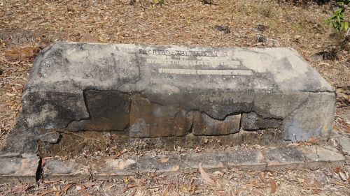
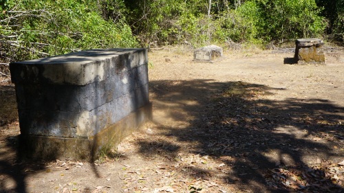
The next day it was back to the boats as we travelled across the Port to reach Victoria Settlement; on a cliff overlooking a white sand beach, are the stone ruins of the settlement a small group of British marines called home from 1838 to 1849.
The Port Essington settlement was the third attempt to establish British sovereignty in the region. This outpost of Empire was meant to show every other European navel power, including the Dutch and the French, that Britain controlled the north of this land. Aboriginal ownership to them, was and continued to be, irrelevant until the last quarter of the next century.
Besides establishing sovereignty, the British wanted to cash in on the trade route to Asia. They also hoped to benefit from the lucrative trade in trepang, or sea cucumber, which had brought Macassan fishermen from modern day Indonesia to Port Essington for centuries.
In October 1838, 36 Royal Marines, and a few of their wives and children, sailed into Port Essington. At its height 300 people are said to have lived here; ruins indicate 24 houses and a hospital.
The settlement was plagued by disease, and many marines unaccustomed to the climate or the landscape, died of malaria and fever. And yet it wasn’t until late 1849 that the settlement was finally abandoned.
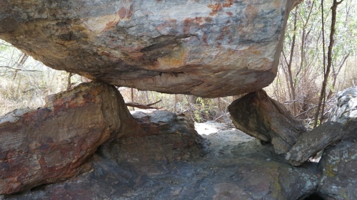
The ruins of the settlement especially the old graves in a bush setting are sad, veering on the eerie.
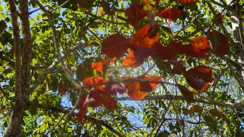
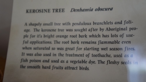
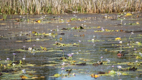
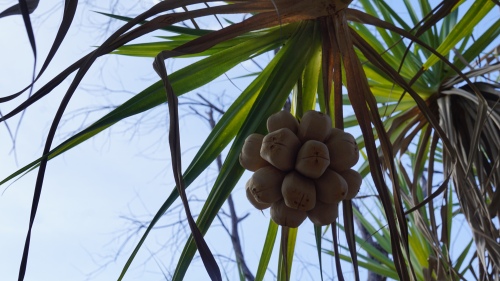
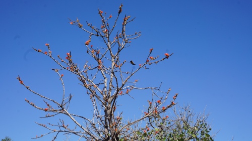
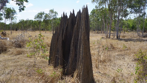
Yet in the surrounding bush, there was beauty:

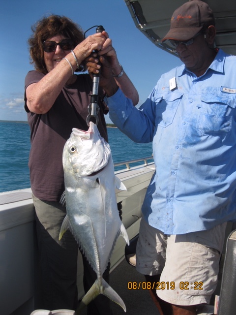
The next day in the resort’s new fishing boats we explored the mangroves of Trepang Bay and chased the elusive catch though not for sustenance.


Not only was there an elegant lunch spot prepared for us, the lodge boasts great culinary skills generally, the highlight being a degustation dinner.
Who would think that here in the remote wilderness, we would options like:
- cured fish, wasabi sorbet, soy meringue and pickled ginger; or
- kangaroo fillet, crumbed pork head, fennel and caper salad?
There were equally grand beef and chicken choices on the same menu.
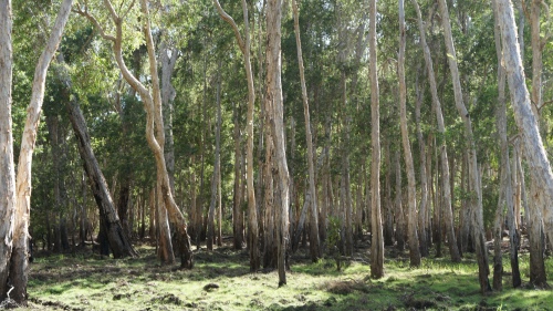
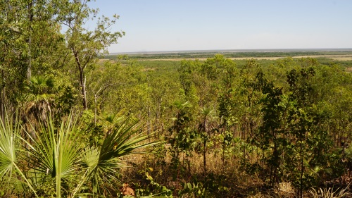
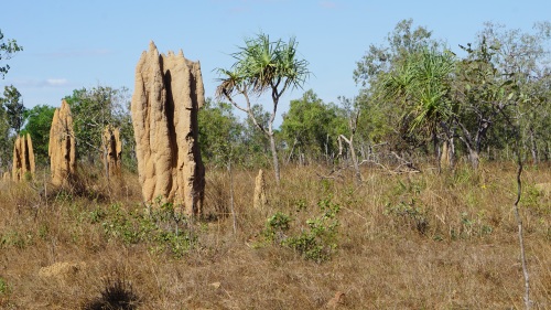
The final afternoon we drove around the National Park looking for buffalo. Here there were bloodwoods, ironbarks and stringy gums as well as the palms;
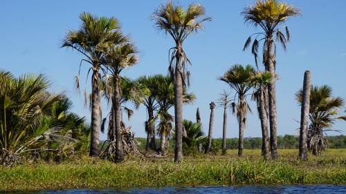
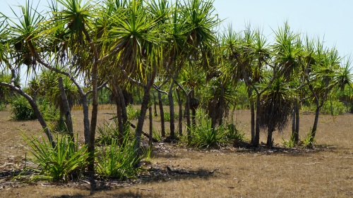
Here also can be found Bypa, the mangrove palm in one of its 3 only global habitats.

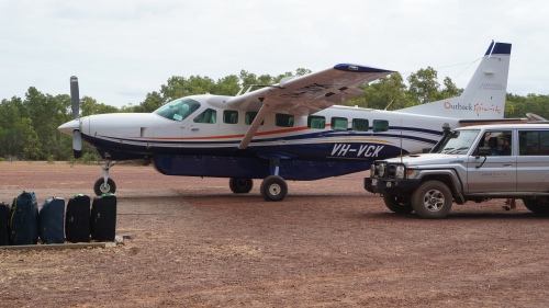
On the final day of the Arnhem Land journey we waited at this remote bush airstrip = Seven Spirit Bay International – for the Cessna Gran Caravan which would take us on the 45 minute flight across van Diemen Gulf to Darwin
And to Arnhem Land, I say farewell
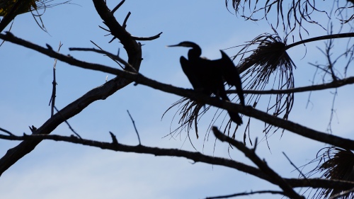


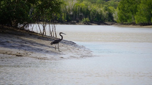
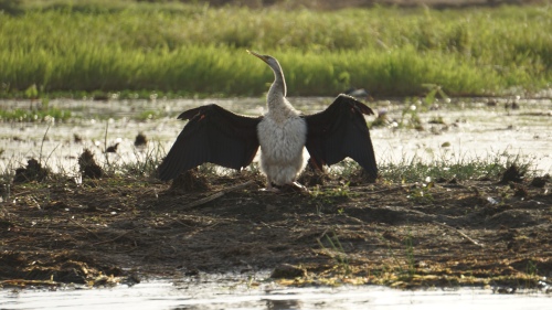
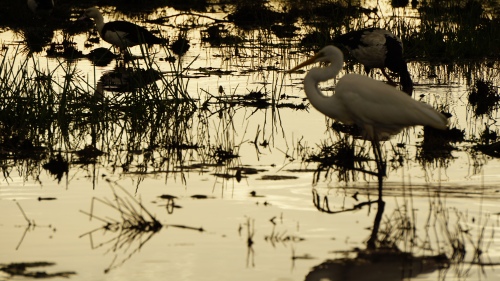
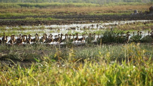 birds
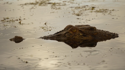
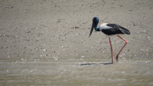
birds